 ICES Metadata Catalogue
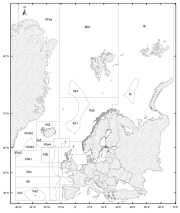
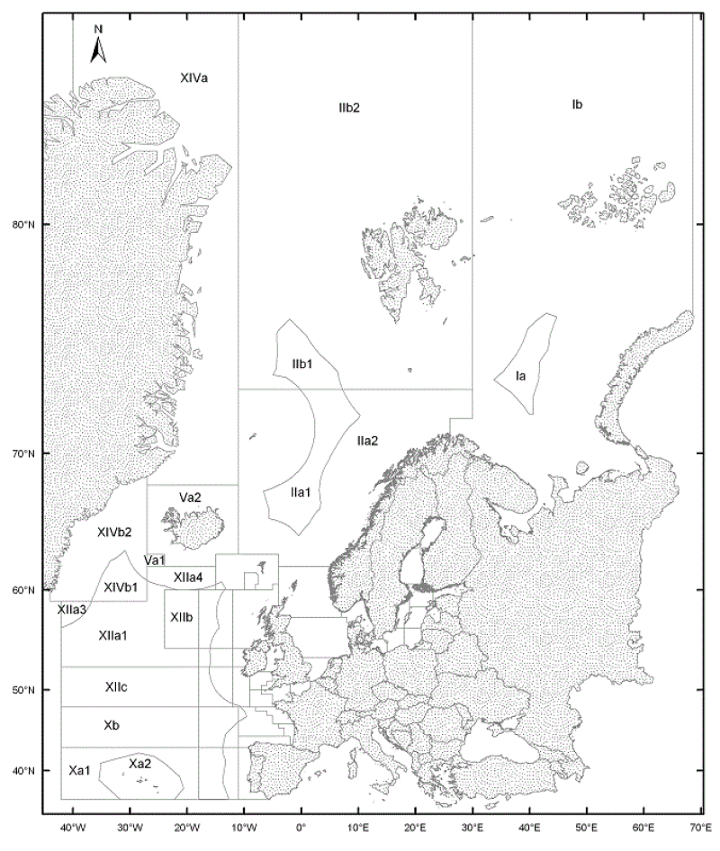
ICES Statistical Areas
The ICES Statistical Areas delineates the divisions and subdivisions of FAO Major Fishing area 27
Simple
- Date (Publication)
- 2005-11-03T12:24:00
- Edition
-
20051103
- Presentation form
- Digital map
- Purpose
-
The ICES Statistical Areas are used as bounding areas for calculation of fish statistics, e.g. catch per unit effort (CPUE) and stock estimates.
- Status
- Completed
- Point of contact
-
Organisation name Individual name Electronic mail address Role ICES
ICES Data manager
Originator
- Maintenance and update frequency
- As needed
- Theme
-
-
ICES statistical areas
-
Statistical areas
-
Sea regions
-
ICES areas
-
Fisheries areas
-
-
GEMET - INSPIRE themes, version 1.0
-
-
Administrative units
-
- Place
-
-
FAO Major Fishing Area 27
-
- Use limitation
-
Data is available under the terms of the ICES Data Policy. (See: https://ices.dk/data/guidelines-and-policy/Pages/ICES-data-policy.aspx)
- Access constraints
- Other restrictions
- Use constraints
- Other restrictions
- Other constraints
-
Data is available under the terms of the ICES Data Policy. (See: https://ices.dk/data/guidelines-and-policy/Pages/ICES-data-policy.aspx)
- Spatial representation type
- Vector
- Language
-
eng
- Character set
- UTF8
- Topic category
-
- Boundaries
))
- Reference system identifier
- EPSG:4326
- OnLine resource
-
Protocol Linkage Name WWW:LINK-1.0-http--link
https://gis.ices.dk/shapefiles/ICES_areas.zip Download Ices Statistical Areas Shapefile OGC/ESRI Services
https://gis.ices.dk/gis/rest/services/ICES_reference_layers/ICES_Areas/MapServer Access map services
- Hierarchy level
- Dataset
Metadata
- File identifier
- c784a0a3-752f-4b50-b02f-f225f6c815eb XML
- Metadata language
-
eng
- Character set
- UTF8
- Date stamp
- 2020-01-15T12:31:45
- Metadata standard name
-
ISO 19115:2003/19139
- Metadata standard version
-
1.0
- Metadata author
-
Organisation name Individual name Electronic mail address Role ICES
ICES Data manager
Point of contact
)))