 ICES Metadata Catalogue
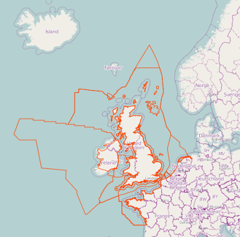
Substrates
The map is a collection of polygons outlining substrate habitat maps/studies. Each polygon is attributed with a unique identifier connecting the polyon with a metadatadescription describing the resource. The collection of substrate habitat map outlines is maintained by the ICES Working Group on Marine Habitat Mapping (WGMHM). When adding the map to the ICES Spatial Facility ( http://geo.ices.dk) the modelled habitat metadata can be explored by selecting a specific polygon.
Simple
- Date (Publication)
- 2011-09-01T14:57:00
- Presentation form
- Digital map
- Purpose
-
To give an overview of existing maps/studies on substrate habitats in the marine environment.
- Status
- On going
- Point of contact
-
Organisation name Individual name Electronic mail address Role Originator
- Maintenance and update frequency
- As needed
- Theme
-
-
substrate
-
marine
-
WGMHM
-
outline
-
-
GEMET - INSPIRE themes, version 1.0
-
-
Geology
-
-
Region
-
-
Atlantic, Northeast
-
- Access constraints
- Other restrictions
- Use constraints
- Other restrictions
- Other constraints
-
Data is available under the terms of the ICES Data Policy. (See: https://ices.dk/data/guidelines-and-policy/Pages/ICES-data-policy.aspx)
- Spatial representation type
- Vector
- Language
-
eng
- Character set
- UTF8
- Topic category
-
- Geoscientific information
))
- Reference system identifier
- WGS 1984
- OnLine resource
-
Protocol Linkage Name WWW:LINK-1.0-http--link
OGC:WMS-1.1.1-http-get-map
http://map.ices.dk/geoserver/wms ices_eg:wgmhm_substrate_maps
- Hierarchy level
- Dataset
Metadata
- File identifier
- bac2b8e4-e5ad-4b47-9961-025233dfa382 XML
- Metadata language
-
eng
- Character set
- UTF8
- Date stamp
- 2022-04-28T16:35:30.118Z
- Metadata standard name
-
ISO 19115:2003/19139
- Metadata standard version
-
1.0
- Metadata author
-
Organisation name Individual name Electronic mail address Role ICES
Point of contact
Overviews

Spatial extent
Provided by
